Guide
Skiing in Bakuriani for Beginners
What first-time skiers can expect before and during their first days on snow.
Understand Bakuriani’s ski areas, town layout and practical local rhythm.
Guide · By Marizel van Eeden · 8 min read · Updated
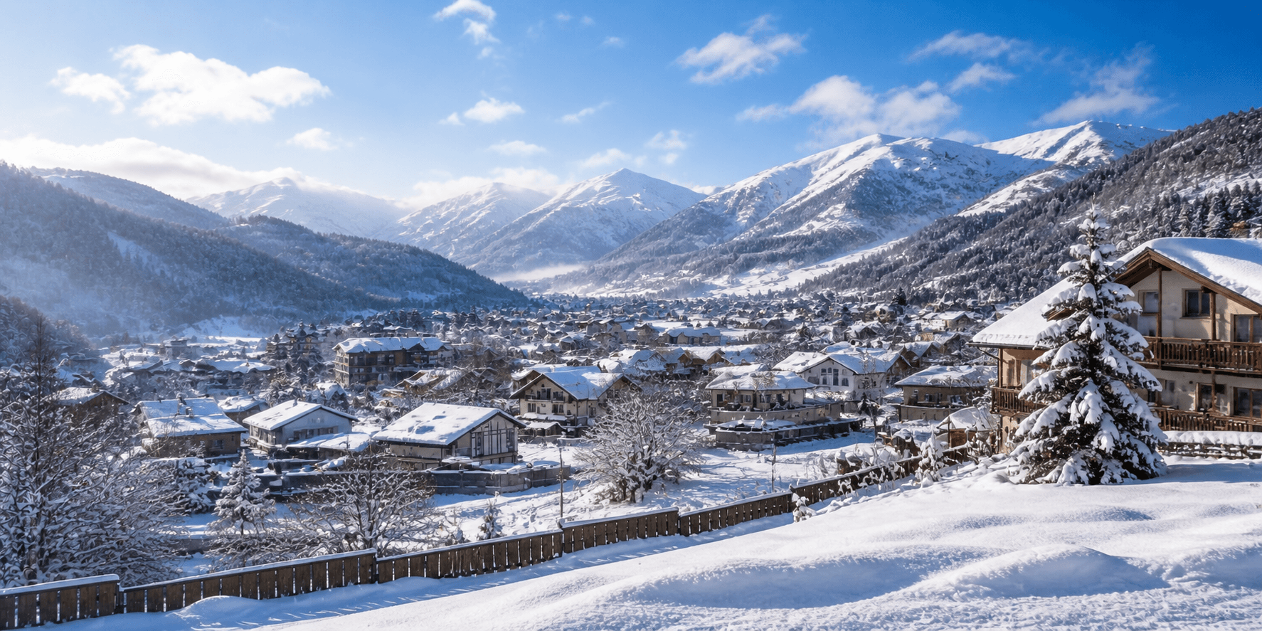
Every winter, my family and I spend the season in Bakuriani, welcoming travellers and watching the town settle into its snowy rhythm. This guide is designed to help you picture how the different ski areas and the town fit together.
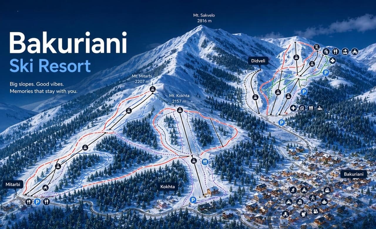
Bakuriani is a mountain town with ski areas around it rather than one single base. Didveli, Kokhta and Mitarbi have distinct access points, while beginner activity, shops, cafés and accommodation are spread through the town.
Treat each area as a separate part of the resort and use current official trail information for difficulty and operating status. Choose terrain for your ability and the day’s conditions; trail colour alone is not a substitute for local advice.
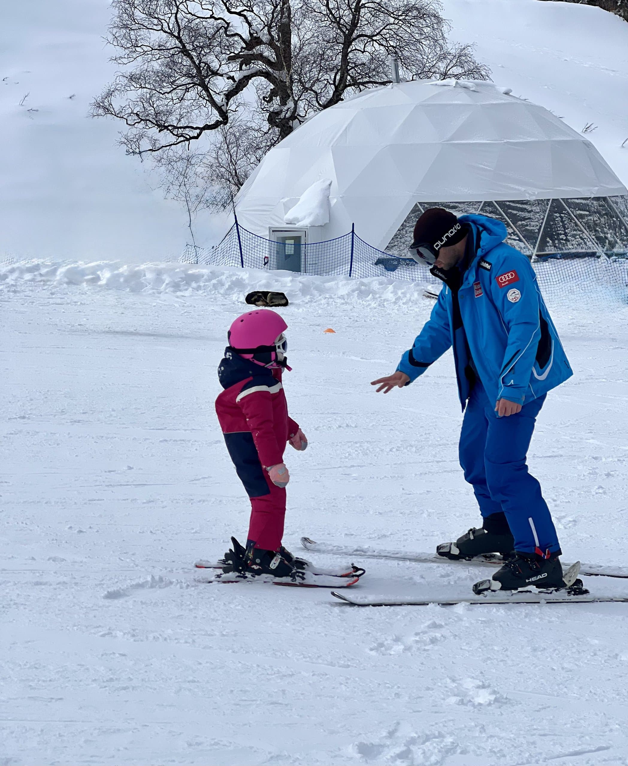
Beginner areas and ski schools provide a gentler starting point. Non-ski activities, restaurants and accommodation locations can make a significant difference for families and mixed groups, so discuss daily priorities before choosing where to stay.
Walking may work for nearby town stops, while ski-area journeys can require transport. Your quotation confirms any included airport, intercity or slope transport. Weather, traffic and operator arrangements can affect plans.
Bakuriani co-hosted the correctly named 2025 Winter European Youth Olympic Festival. This historical event reflects the resort’s international competition profile but does not describe current public access or operating conditions.